Seerah is geography. Read a plain account of the march to Badr and you follow a sequence of events; look at the map and you understand why the Muslims moved to the wells, why the ground mattered, and how far anyone actually walked.
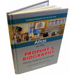
This atlas supplies that dimension for the whole of the Prophet's ﷺ life. Compiled by Dr. Shawqi Abu Khalil, a distinguished research scholar, it rounds off a series of atlases written to the same pattern — following his Atlas of the Qur'an.
What It Traces
- The places the Prophet ﷺ honored with his visits
- The battles he fought, with the terrain and the positions
- The expeditions he directed
- The envoys he sent, and where they went
Every required map, illustration, drawing and photograph is provided, with briefings and short explanatory notes attached to the images so the reader gets the benefit without hunting through the text for the context.
How It Reads
The Seerah itself is given in brief, with the maps, diagrams and photographs carrying the weight, and everything arranged in chronological order. The effect is that the events pass before the reader's eyes in sequence — understanding the Seerah becomes markedly easier, because you can see where each thing happened in relation to everything else.
The opening chapters set out the framework before the geography begins: a divinely revealed belief system, centered on the laws of Allah, delivered as a final message whose miracle is ongoing, addressed to reason.
Who It Is For
Teachers of Seerah, who will find it does in one page what takes twenty minutes to explain. Students at every level. Families — the format holds a child's attention where a text-only biography will not. Anyone who has read the Seerah and never had a clear picture of where anything was.
Related Reading



 (3)
(3)